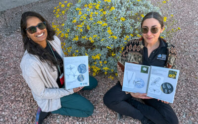
DRI’s Gabrielle Boisramé has been studying the transformative impact of Yosemite’s natural fire experiment for over a decade.
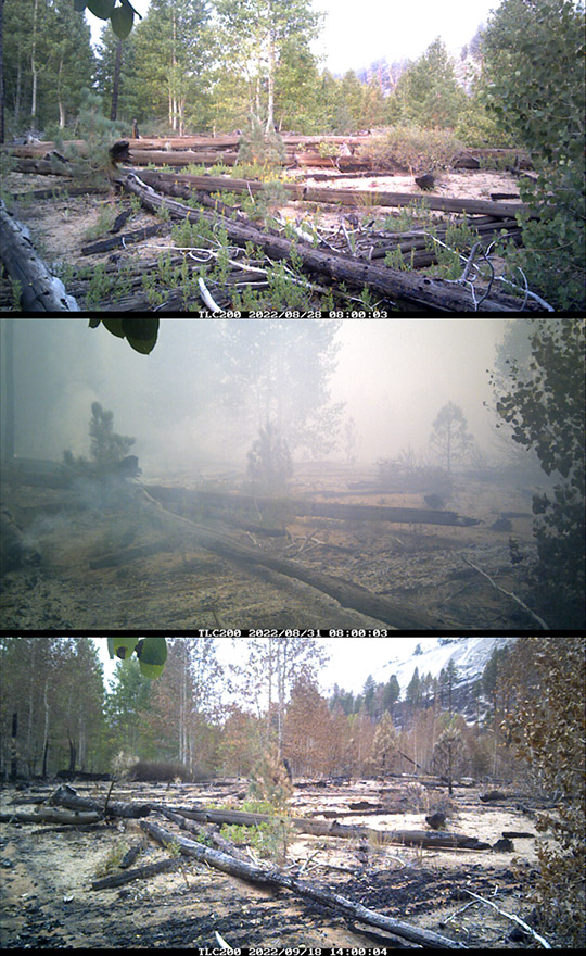
A few miles south of Yosemite’s famed Glacier Point, ringed by striking granite domes, lies the Illilouette Basin. This small stretch of the Sierra Nevada Mountains has become a sort of fire laboratory, a place where natural wildfires have been allowed to burn since 1972. In contrast with the long-supported program of fire suppression that has dominated American forests since the late 19th century, resulting in dense and unhealthy forests, the Illilouette Basin’s story is about the benefits that natural fire can bring to the landscape.
DRI’s Gabrielle Boisramé, an ecohydrologist and environmental engineer, has been studying the area for more than a decade. The project began during her Ph.D., when a fire ecologist noticed wetland plants growing in the footprint of a burnt forest. He turned to hydrologists to help uncover how wildfire changed the way water moved through the area, and Boisramé soon had her dissertation project. She knew that the work had larger implications than understanding how fires alter the plant life growing in burnt forests, as the Sierra Nevada Mountains serve as one of the nation’s most important sources of freshwater.
“This project is really important because the Sierra Nevada supplies most of California’s water, which allows the state to grow many foods for around the world,” Boisramé says. “Reducing fire size protects water quality.”
Suppressing Fire Fueled Today’s Infernos
California’s forests historically burned frequently, lit by lightning strikes and indigenous communities. These fires were relatively small and burned slowly, leaving much of the vegetation intact. The forests adapted to these frequent burns, with many of the state’s trees and other plants requiring fire to germinate (including redwoods, sequoias, many oaks, cypress trees and some spruce). One study estimated that before 1800, more than 1.8 million hectares burned per year in the state. To put that number in perspective, that’s nearly the amount of land burned in the entire country between 1994 and 2004.
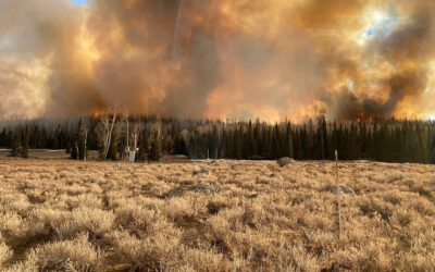
This pattern changed in the late 1800s, when the US government decided that fires should be put out aggressively, thinking the policy would protect the nation’s timber supply. The decades of fire suppression that followed led to dense forests blanketed with thick understory growth. But dense trees are more susceptible to disease and drought, and the understory plants would dry out in the summer months, providing the fuel for the particularly large and hot fires we see today. Of the 20 largest wildfires in California’s recorded history, only one occurred prior to the year 2000.
By the 1960s, wildfires grew more out of control and became increasingly difficult to extinguish. Some researchers began raising the alarm about fire suppression methods and advocating for ecosystem-focused management of national parks. The National Park Service changed its policy in 1968 to recognize fire as an essential ecological process, with guidelines for when fires should be allowed to burn. In response, Sequoia, Kings Canyon, and Yosemite National Parks quickly established fire experiment areas, including the Illilouette Creek Basin. These natural fire laboratories provide scientists with the best long-term information about how fires transform ecosystems.
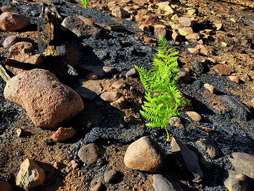
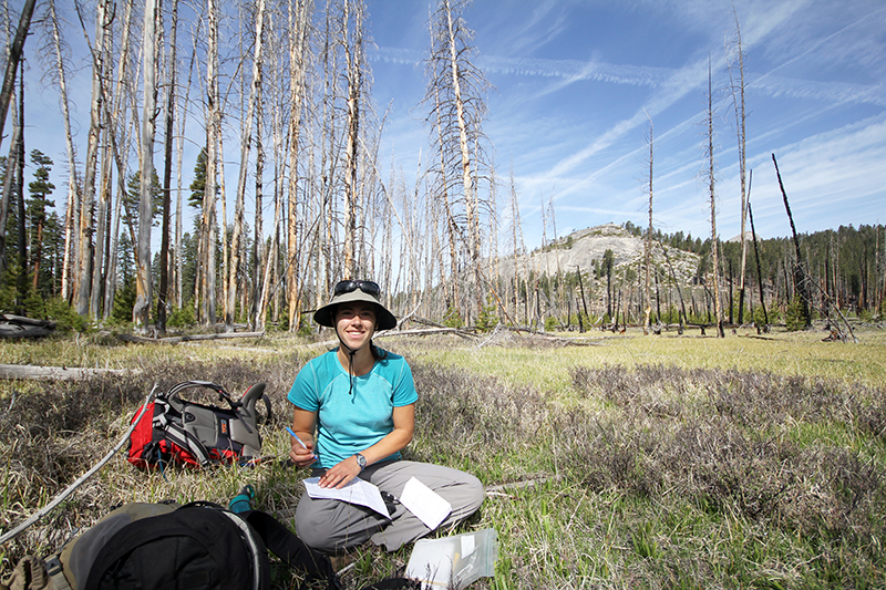
“It’s so rare that studies can continue for more than a few years, so it’s great that I’ve been able to work out here for a decade now, and that we have data since the 1970s when they first started this natural experiment,” Boisramé says. “These long-term data sets are so important, because all of this is about looking at the bigger picture, not just what’s going to happen with whatever fire is currently burning.”
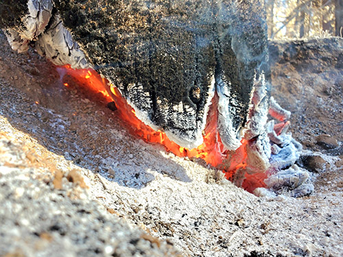
The natural fires burn differently than controlled burns, bringing higher “pyrodiversity,” or more varied burn severity. Since the park established the fire experiment program in the Illilouette Basin, more than half of the area has burned in wildfires.
A Changed Landscape
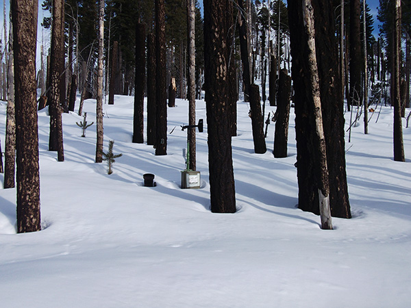
To study how frequent burns are changing the Illilouette Basin, Boisramé and her team installed monitoring equipment to track snowpack depth, creek flows, soil moisture, and a range of other ecological measurements. They also use satellite imagery to track changes in the landscape from space. All this information shows that fire has restored Illilouette Basin to a degree not seen for more than a century. Dense forests are thinning out, with parts giving way to thriving meadows and wetlands, bringing higher biodiversity. The healthier forests are also proving more resilient to drought, insects, and diseases, and less prone to fueling severe, destructive wildfires. Key to the transformation is the way that the thinner forests protect the snowpack and support higher streamflow.
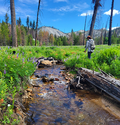
“I was surprised at how dramatic the impact on snowpack is,” Boisramé says. “A lot of research shows that after wildfires, you get less snow because of the dark, burned surfaces and ash that melt the snow. But in the longer term, years after the fire, that seems to shift. I’d snowshoe into Illilouette Basin and see bare ground in places with dense tree cover, and then 100 feet away in an open, burned area with just tree snags left the snow would be several feet deep.”
Vegetation impacts the depth, distribution, and longevity of the snowpack in many ways. The first is the way that plants intercept snow as it’s falling—more vegetation cover means more snow is stopped by leaves and branches. Tree cover also protects the snow beneath from solar radiation. However, the trees themselves absorb the sun’s rays and radiate some of that energy outward into the surrounding snow, which causes the tree wells that skiers are so wary of. More plants also means more water transferred from the soil to the atmosphere through transpiration. Boisramé says that small gaps between trees seem to provide the best conditions for a deeper, longer-lasting snowpack within forests. In areas where forest has converted to wetland, the snowpack is even deeper and longer-lasting. “The more open areas are keeping the snow around longer because there’s less interception and less longwave radiation coming off of trees,” Boisramé says. “We’re starting to see this as we look in more areas around the watershed as well.”
With temperatures in the summer months creeping ever higher, protecting the snowpack is increasingly important for ensuring that this natural mountain reservoir can supply water to the surrounding region until the next winter’s storms. The USGS has stream gauges just downstream of Illilouette Basin and in three other nearby locations that have been measuring stream flow for more than a century. Upper Merced River, which receives much of its flow from the Illilouette, has seen more consistent stream flow than the others, all of which have seen decreases of between 6 and 12%. Boisramé says this is indicative that more frequent burns may be reducing the water demands of plant life in the Illilouette compared to the denser forests in surrounding basins. Research has shown that Sierra Nevada conifer forests require as much as four times more water than meadows and wetlands.
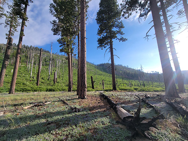
A slow-melting snowpack also keeps soils in the area wetter, helping to prevent drought conditions that can fuel more extreme wildfires. In 2015 alone, more than 10.5 million conifer trees were killed by drought in the southern Sierra Nevada. Boisramé’s monitoring equipment has measured the way that soil moisture is protected during years when the snowpack sticks around later into the summer months, such as in the summer following 2023’s record-breaking snowfall.
“Informing forest management is really the main goal of this work—to see, 50 years after the start of this natural experiment, what happened?” Boisramé says. “Did it achieve the goals it wanted?”
Lessons from the Illilouette
Boisramé’s work shows promise for ways that scientists and forest managers can work together to tackle the growing risk of devastating wildfires under a changing climate. Fighting fire with fire may offer an opportunity to decrease the risks posed from larger, more severe burns, while supporting balanced ecosystems and protecting snowpack reservoirs. The strategy may help other mountain west regions experiencing similar challenges, she says.
“Our results hopefully give forest managers an extra reason to try this approach in more areas,” Boisramé says. “And that can give us a better idea of where the strategy works well and where it may have less of an impact. This project is a great example of scientists and managers working together in a place that the public cares a lot about.”
More information:
Fire, Water, and Biodiversity in the Sierra Nevada: a possible triple win
Managed Wildfire Effects on Forest Resilience and Water in the Sierra Nevada
Restoring a Natural Fire Regime Alters the Water Balance of a Sierra Nevada Catchment
This project is funded by the National Science Foundation’s Critical Zone Collaborative Network Program

