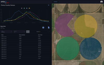
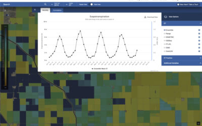
A NASA, DRI, and U.S. Geological Survey (USGS)-supported research and development team is making it easier for farmers and ranchers to manage their water resources. The team, called OpenET, created the Farm and Ranch Management Support (FARMS) tool, which puts timely, high-resolution water data directly in the hands of individuals and small farm operators.
Groundwater Use Can Be Accurately Monitored With Satellites Using OpenET, New Study Finds
DRI scientists compared data from groundwater pumping meters with OpenET estimates in irrigated land to advance understanding of groundwater use. The new study demonstrated that OpenET can be used to accurately estimate the amount of groundwater used for crop irrigation at the level of individual fields.
A New, Rigorous Assessment of OpenET Accuracy for Supporting Satellite-Based Water Management
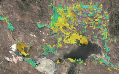
A new study offers a comprehensive multi-model, large-scale accuracy assessment of an operational satellite-based data system to compute evapotranspiration. The researchers found that OpenET data has high accuracy for assessing evapotranspiration in agricultural settings, particularly for annual crops like wheat, corn, soy, and rice.
Meet Sayantan (Monty) Majumdar, Ph.D.
Sayantan Majumdar, Ph.D., joined DRI in June 2023 as an assistant research professor of hydrologic sciences and remote sensing. Majumdar, who also goes by the name “Monty,” also specializes in machine learning, geospatial data science, and scientific software development.
Consortium Launches New Online Water Data Platform to Transform Water Management in the Western United States as Droughts Intensify
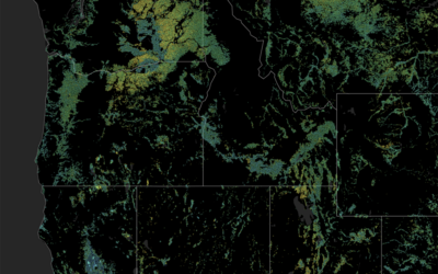
Desert Research Institute scientists led by Dr. Justin Huntington have been working in collaboration with NASA, EDF, Google, HabitatSeven, and others to launch a new online water data platform, OpenET, to help 17 western states develop more resilient water supplies amid record drought.
Senator Cortez Masto, Representatives Huffman, Lee, and Stewart Introduce Bicameral, Bipartisan Legislation to Transform Water Management in the West
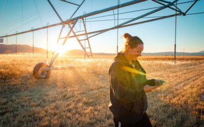
U.S. Senator Catherine Cortez Masto (D-Nev.) today introduced legislation to get critical water use data in the hands of farmers, ranchers, and decision-makers for improved water management across the Western U.S.
Making Sense of Remote Sensing: A Q&A with Matt Bromley
Matt Bromley, M.S., is an Assistant Research Scientist with the Division of Hydrologic Sciences at the Desert Research Institute (DRI) in Reno, and specializes in GIS and remote sensing. He holds a B.S. in Environmental Science and a M.S. in Geography from the University of Nevada, Reno. He is a native Nevadan, an Army veteran, and has been a member of the DRI community for ten years.
