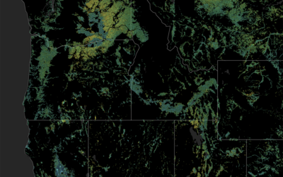
A new study published in Nature Communications utilizes insights gleaned from DRI’s Mountain Rain or Snow project to evaluate why traditional weather forecasting struggles to identify the rain/snow transition line. The research was possible because thousands of community members across the U.S. contributed more than 40 thousand observations of the type of precipitation falling at their location.
FARMing with Data: OpenET Launches New Tool for Farmers and Ranchers
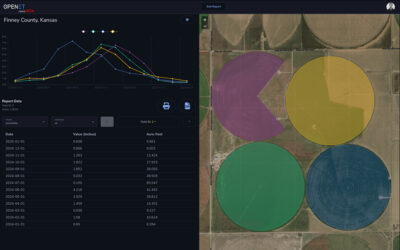
A NASA, DRI, and U.S. Geological Survey (USGS)-supported research and development team is making it easier for farmers and ranchers to manage their water resources. The team, called OpenET, created the Farm and Ranch Management Support (FARMS) tool, which puts timely, high-resolution water data directly in the hands of individuals and small farm operators.
Measuring Colorado River Evaporation from Reservoirs
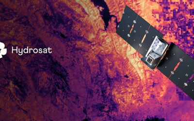
DRI is advancing water management in the Colorado River basin with support from the National Science Foundation’s Southwest Sustainability Innovation Engine (SWSIE) and the Governor’s Office of Economic Development. Partnering with Hydrosat, DRI uses high-resolution satellite thermal imaging to enhance evaporation estimates from key reservoirs, ensuring better resource planning amidst drought and population growth.
A New, Rigorous Assessment of OpenET Accuracy for Supporting Satellite-Based Water Management
A new study offers a comprehensive multi-model, large-scale accuracy assessment of an operational satellite-based data system to compute evapotranspiration. The researchers found that OpenET data has high accuracy for assessing evapotranspiration in agricultural settings, particularly for annual crops like wheat, corn, soy, and rice.
Maxey Fellowship Supports Graduate Student Water Resources Research
The George Burke Maxey Fellowship was established in 1988 by Elizabeth “Betty” West Stout to support research in water resources.


